


HOW CAN SATELLITES AND ARTIFICIAL INTELLIGENCE REDUCE METHANE EMISSIONS?
Share
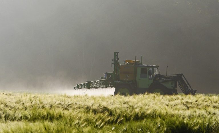
Although it seems that in the fight against the climate crisis, the strongest focus is on reducing carbon dioxide emissions, last year’s UN Conference on Climate Change showed that there is a problem that needs to be addressed even more urgently and that is methane emissions. Methane is a gas that has an even stronger greenhouse effect than carbon dioxide. An assessment by the International Energy Agency (IEA) showed that man-made methane is responsible for about 30 per cent of the global temperature increase that has taken place in recent years. Countries around the world have come to grips with this gas, enacting various legal obligations, penalties and recommendations to combat this problem, but it is very difficult to assess to what extent they are enforced. Here, three factors come to the rescue – satellites, algorithms and artificial intelligence.
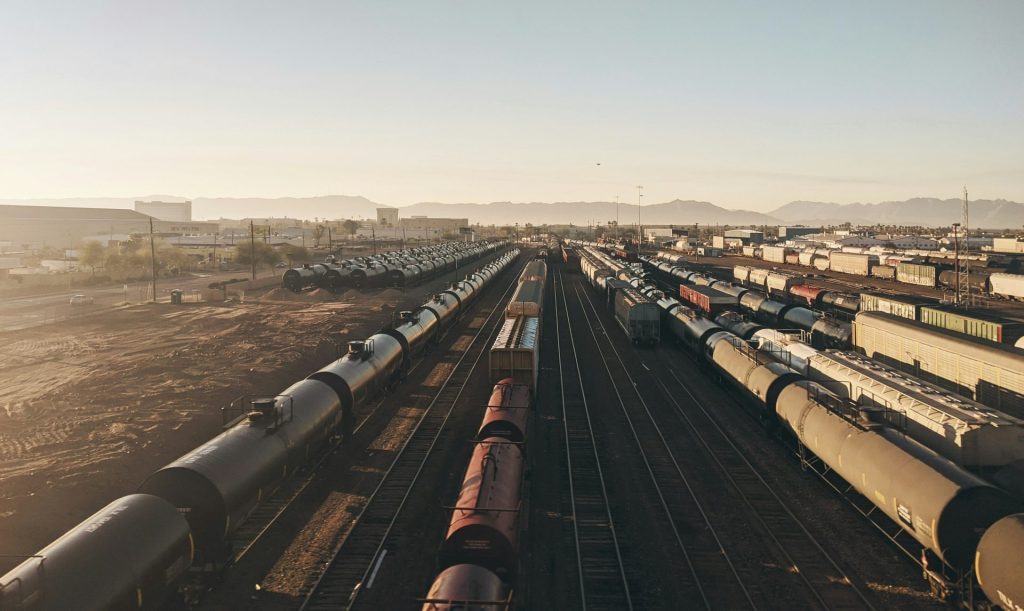
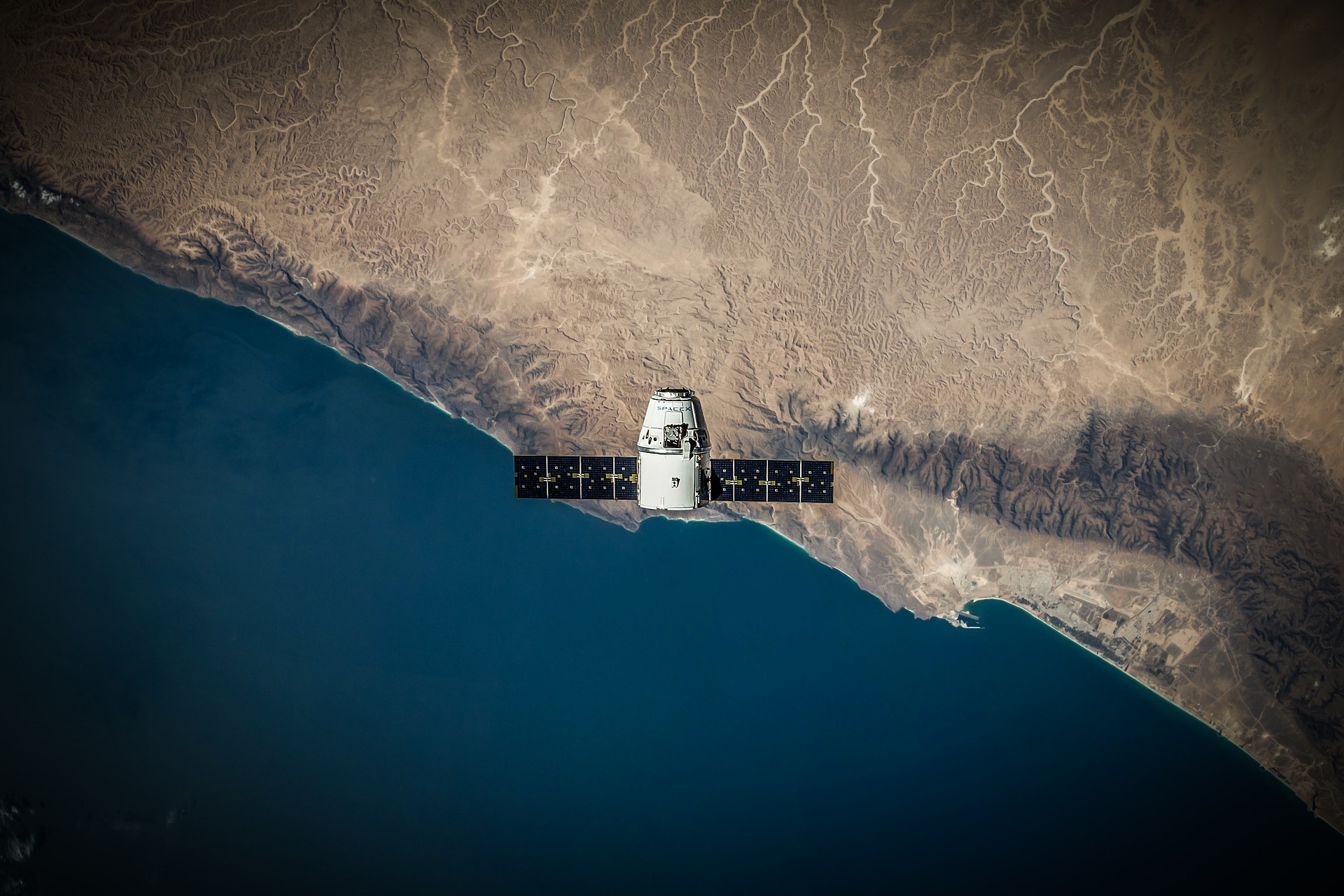
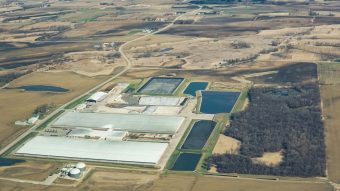
By joining forces, Google and the Environmental Defense Fund have come up with a way in which the aforementioned three factors can contribute to the reduction of methane emissions. The Environmental Protection Fund’s new satellite, named MethaneSAT, will locate and measure emissions from oil and gas operations around the planet, as these industries represent the second largest source of human-caused methane emissions after agriculture. Although there are already satellites that monitor global methane emissions, this satellite has been significantly improved so that it can record with much greater precision the specific locations from which these emissions are released. According to reports, the satellite will orbit the Earth 15 times a day at an altitude of over 350 miles.
What role does Google play?
Google Maps is perhaps the most well-known online service created by this company when it comes to data and illustrations generated by satellites. Google Earth could be classified as a more advanced form of map, as it offers a 3D view of our planet, with additional interesting features. You can travel to many locations on our planet and use the “pin” option to go down to a certain street, and then move along it and thus see the actual recorded footage. By increasing the advanced capabilities of such online services, we arrive at one that answers the question as to what role Google plays in all of this – it is the Google Earth Engine platform for monitoring the environment on a planetary level.
The Environmental Protection Fund’s vision is to make data collected by satellites available to interested parties around the world to accelerate efforts in reducing methane in the oil and gas industry.
Availability, visualization and additional benefits will be available thanks to the aforementioned platform which generates a multitude of geospatial data and tools – both satellite images and written concrete data – for their analysis in one place. Once the information collected by the MethaneSAT satellite is fed into this platform, users will be able to combine it with other environmental data sets and analyze it using a variety of tools. In order to implement all this, computers used for this purpose have to provide fast and secure processing of a large amount of data, which is again made possible by Google Cloud.
The satellite is supposed to be launched next month. Humanity has benefitted a lot from the use of such satellites in the past, but it remains to be seen whether this way of mapping methane-emission locations will really help to reduce this problem.
Katarina Vuinac