


Vital Ecosystems in Tidal Flats Lost to Development and Rising Sea Levels
Share
Coastal development and sea level rise are causing the decline of tidal flats along the world’s coastlines, according to research that has mapped the ecosystems for the first time.
Scientists from the University of New South Wales (UNSW) and the University of Queensland used machine-learning to analyse more than 700,000 satellite images to map the extent of and change in tisdal flats around the globe.

The study, published in Nature, found tidal flat ecosystems in some countries declined by as much as 16% in the years from 1984 to 2016.
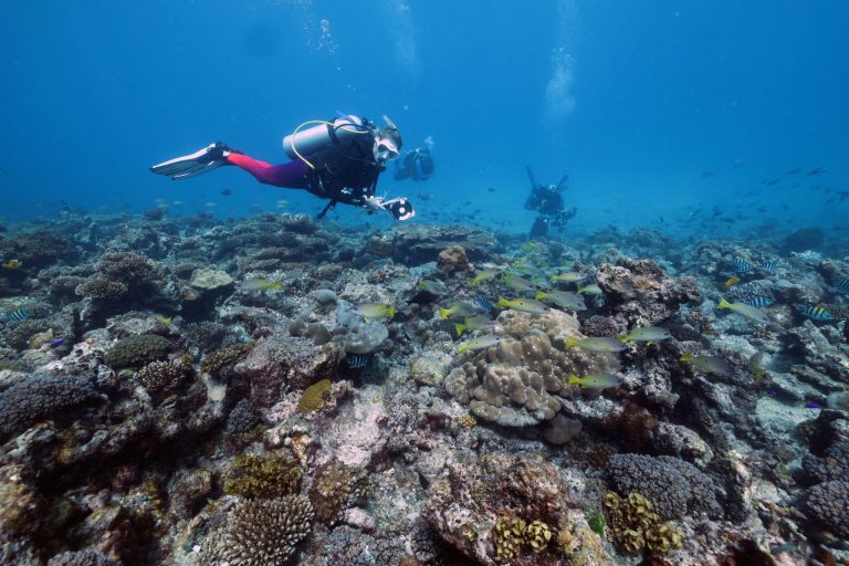
Tidal flats are mud flats, sand flats or wide rocky reef platforms that are important coastal ecosystems. They act as buffers to storms and sea level rise and provide habitat for many species, including migratory birds and fish nurseries.
Almost 50% of the global extent of tidal flats is concentrated in just eight countries: Indonesia, China, Australia, the US, Canada, India, Brazil and Myanmar.
Nicholas Murray, the study’s lead author and a senior research fellow at the centre for ecosystem science at the University of New South Wales, said because tidal flats were often at least partially covered by water they had been difficult to monitor in the past.
“This is a big ecosystem,” he said. “It’s all over the planet and highly susceptible to threats but we haven’t known where they are, which has limited the ability to monitor them.”
The research team worked with Google and used its computing resources to analyse every satellite image ever collected of the world’s coastlines.
They found that tidal flats, as an ecosystem, were as extensive globally as mangroves and that coastal development and sea level rise, in particular, were causing their decline.
In parts of China and western Europe, they found tidal flats that were up to 18km wide. In Australia, they occur all over the country, including places such as Moreton Bay in Queensland and along the Gulf of Carpentaria.
For 17% of the world, there was enough data available to measure declines from 1984 to 2016.
In these locations, which were mostly in China, the US and countries in the Middle East, they found declines in tidal flats of 16%.
For a further 61% of the world, there was enough data to analyse changes from 1999 to 2016 and the research showed declines of 3.1% in this period.
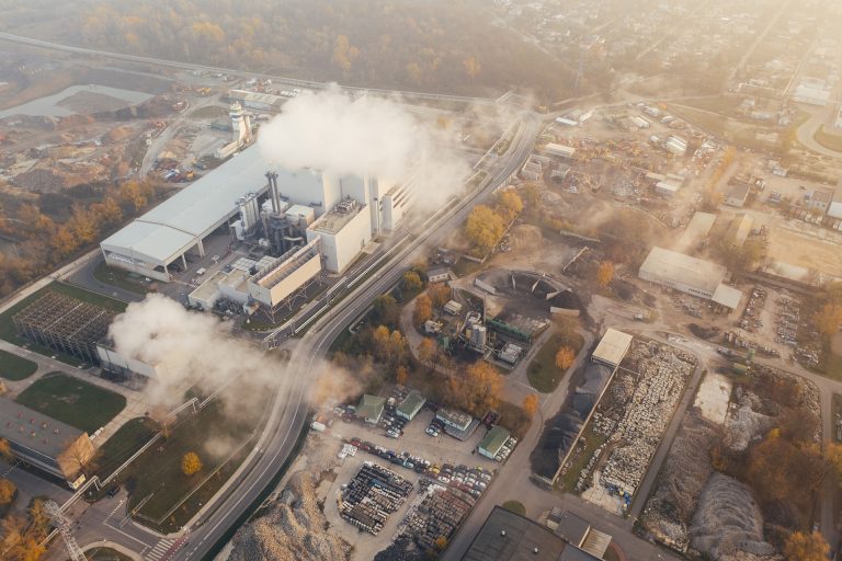
Murray said airports, aquaculture and other infrastructure that had been built on top of tidal flats in countries such as China were major threats. Reduced sediment flows from rivers around the world had also led to a reduced amount of sediment being deposited as tidal flats.
Murray said dams were one of the major drivers of reduced sediment flows from rivers. He said further analysis would be needed of the ongoing impact of the other key threat – sea level rise.
“This study has really given the data to start making those links,” he said. “It means you can really start to understand the impact of sea level rise and coastal development.”
The researchers suggest the study could be used to advance protected areas for tidal flats, which have not always been as well-protected historically because they fall between land and sea.
The map is publicly available and Murray said it had laid the fundamentals for an ongoing monitoring system.
“The easiest way to think about this is, for decades we’ve been able to observe deforestation,” he said. “We can now do that for tidal flat ecosystems.
“We can identify places where tidal flat ecosystems are being lost and the main drivers of those losses, which will allow us to respond with conservation action.”
Source: Guardian